Fort Collins, ColoradoFAA Part 107 Certified

Listings that move.
Properties seen from every angle.

Digital Drone Services films Northern Colorado homes the way buyers experience them — sweeping aerial exteriors and smooth interior walkthroughs, captured in one continuous flight.

Coordinates40.5853° N · 105.0844° W
Altitude5,280 FT
Capture4K · 60 FPS · GIMBAL
CoverageEXTERIOR · INTERIOR
The Service Hangar

Two perspectives.
One continuous story.

Most listings get a slideshow. Yours gets a flight path — outside to inside, no cut between them.

01 · EXTERIOR

Aerial exteriors

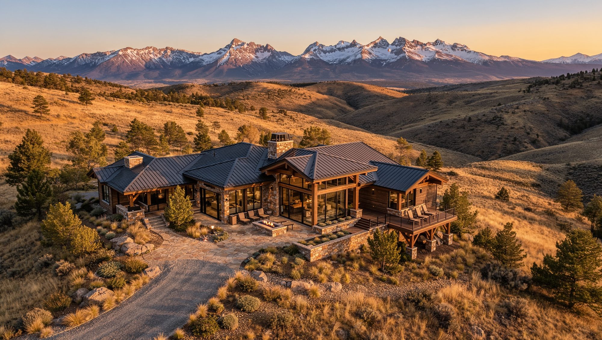
Golden-hour orbits, low tracking runs and exact 90° top-downs that place the property in its landscape — foothills, acreage, water, mature trees.

  • Cinematic 4K orbits and reveals
  • Top-down lot, roof and site geometry
  • Neighborhood and land context
02 · INTERIOR

Interior walkthroughs

Gimbal-stabilized moves from the entry through living spaces — one continuous take, no cuts, no jarring transitions, just the natural flow of the home.

  • Single-take, no-cut walkthroughs
  • Doorway-to-window reveals
  • Detail passes for finishes and fixtures

Property films

Exterior and interior cut into one 60–90s film.

Still photo sets

Matching aerial and interior stills for the listing.

Site & roof inspections

High-detail passes for builders and inspectors.

Progress & events

Monthly construction flights, groundbreakings, events.

The Precision Spec

Certified pilot. Instrument-grade gear. Nothing left to chance.

Every flight is planned against airspace, sun angle and property geometry before the first takeoff. The result is footage that is legal to publish, consistent in color, and ready for the listing the same week.

Insured · Locally owned — Fort Collins, CO
CertificationFAA Part 107 remote pilot
AircraftFour-axis quadcopter, GPS-locked
Camera4K 60 fps · 3-axis gimbal · D-Log
Flight styleContinuous takes, no-cut walkthroughs
Delivery4K MP4, web-ready export, social crops
Turnaround48–72 hours, typical
Selected Frames

The work, from above.

Representative frames from residential, commercial and mountain flights across the Front Range.

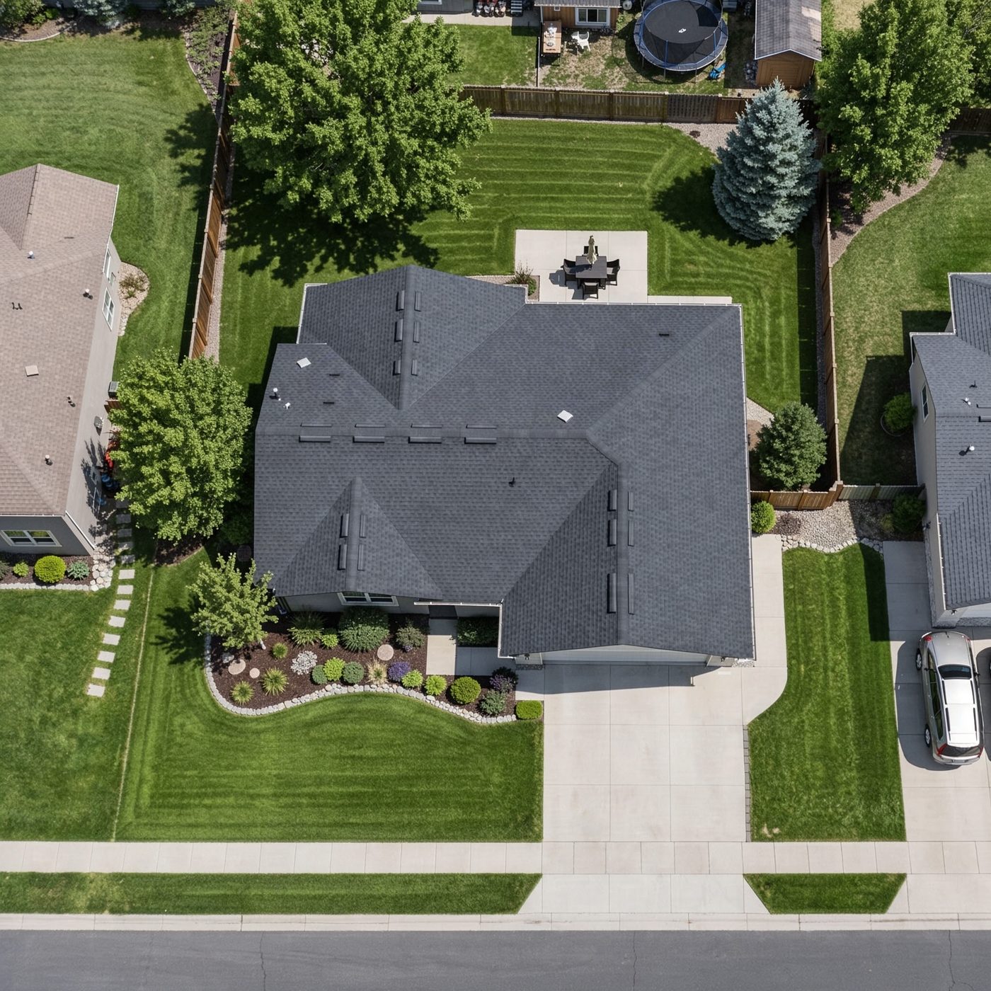
Top-down aerial view of a residential lot
Top-down lot geometry90° orthogonal
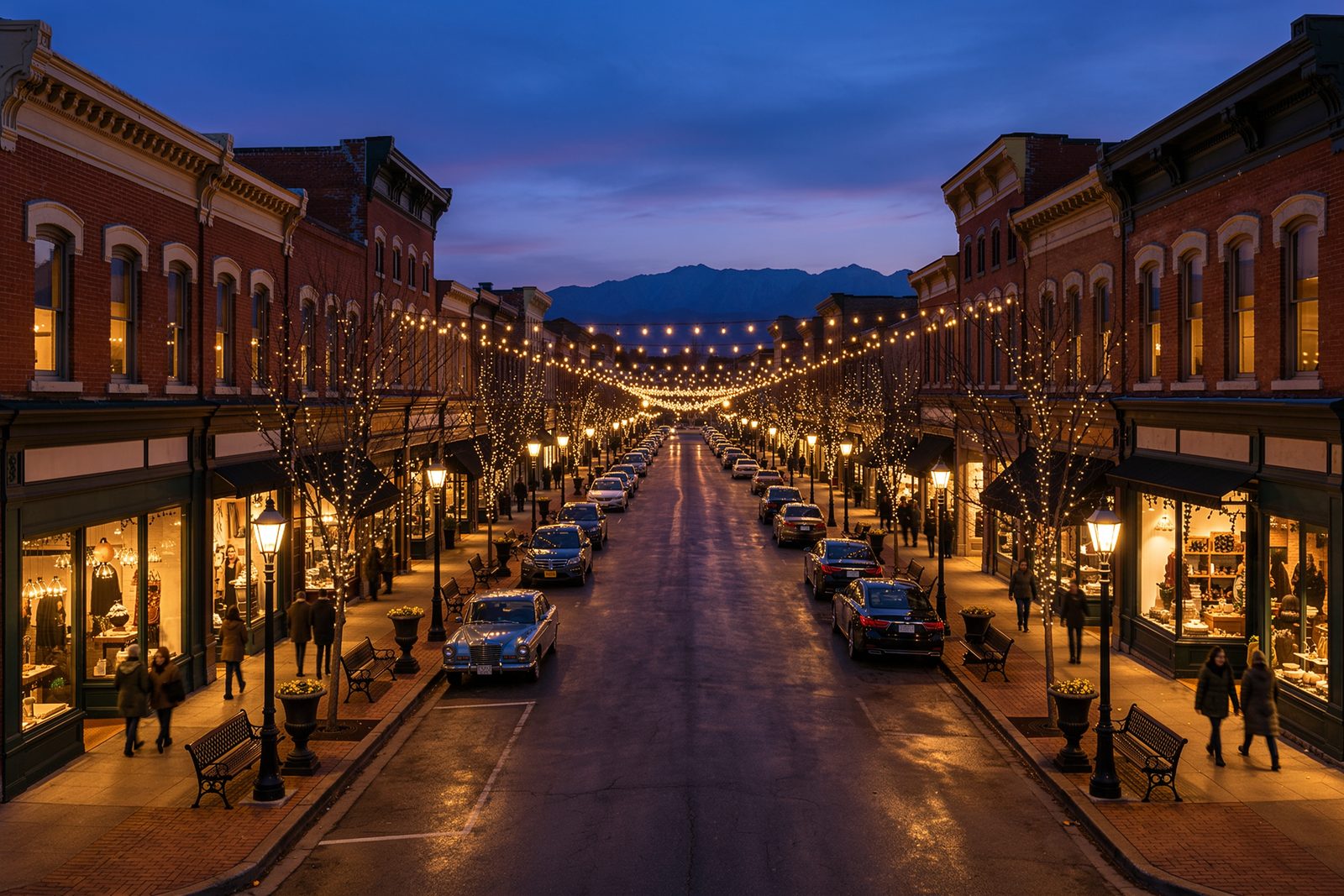
Downtown street at blue hour
Old Town at blue hourCommercial
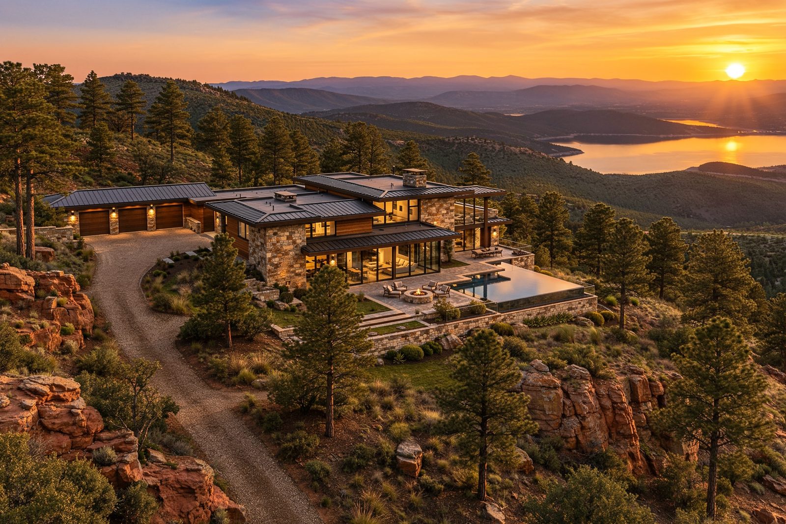
Foothills estate at sunset
Foothills estateReveal
Continuous flight pathOne take
Your pilot · Pilot dossier

Daniel
Disilvestro

Owner · FAA certified pilot

970-215-1518 [email protected] Fort Collins, Colorado · ddrones.com
Your pilot

Daniel founded Digital Drone Services in Fort Collins and flies every mission himself. He plans each shoot around airspace, light and the way a property actually reads on camera, then edits the footage into something an agent can publish the same week.

No subcontractors, no stock footage, no guesswork — one certified pilot, one consistent look across every listing you send his way.

100%Owner-flown missions
48–72hEdit turnaround
0Subcontractors
Flight coverage

Based in Fort Collins, flying the Front Range.

Same-week availability along the I-25 corridor. Travel beyond the coverage area is quoted per property.

48–72 hTypical edit turnaround
1 pilotEvery flight, personally
4K / 60Gimbal-stabilized capture
FAAPart 107 certified & insured
Contact

Request a flight.

Send the address and what you need. You'll get a reply with availability, flight plan and a flat quote — usually within one business day.

Daniel Disilvestro — Owner & FAA Certified Pilot · Fort Collins, CO

What do you need