Aerial Photography
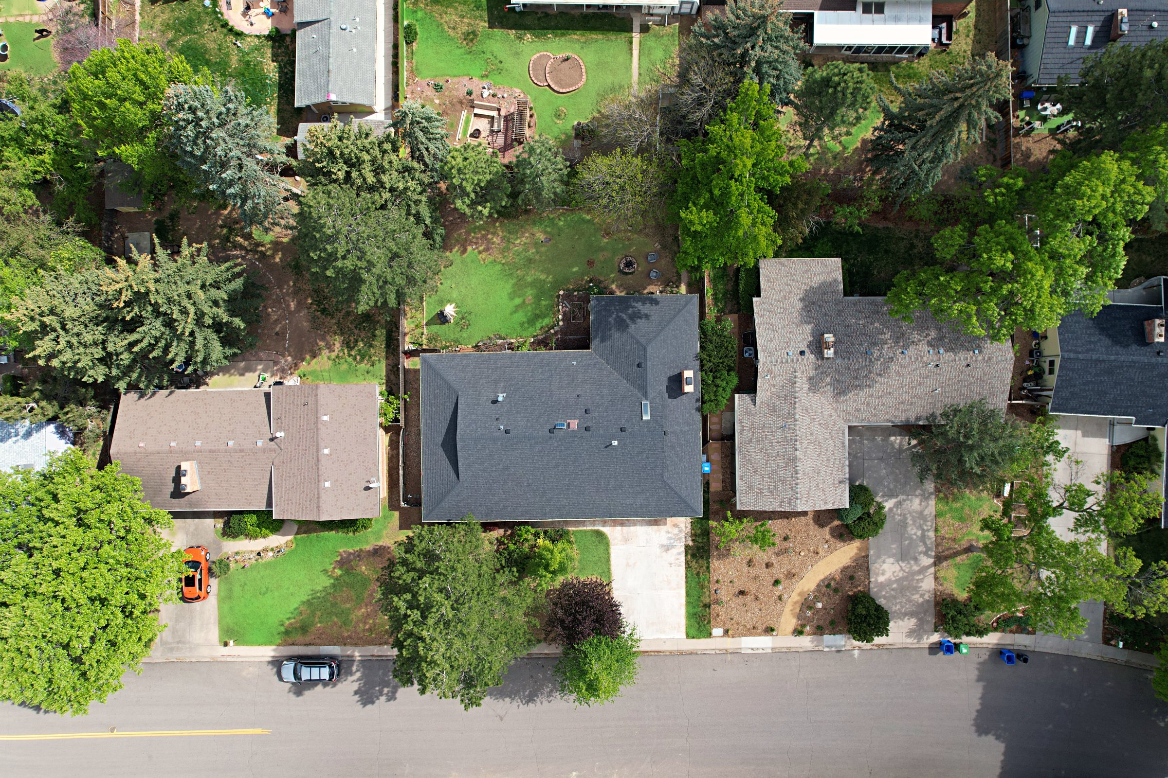
Aerial images that show the bigger picture — from buildings and acreage to the surrounding neighborhood and landscape.
- Exterior property views
- Top-down perspective
- Land and neighborhood context
Digital Drone Services captures aerial photos and videos of Colorado properties, showcasing buildings, land and the surrounding landscape from above.
Most listings get a slideshow. Yours gets a flight path. Aerial photography and cinematic video that showcase your property from above — highlighting its features, its land and the setting that makes it distinctive.
Aerial images that show the bigger picture — from buildings and acreage to the surrounding neighborhood and landscape.
Smooth aerial footage that brings a property's setting into view, with sweeping reveals, orbits and flyovers.
Additional aerial photos for the listing.
High-detail images and videos for builders and inspectors.
Monthly construction flights, groundbreakings, events.
Every flight is planned around airspace requirements, lighting and property layout before the first takeoff. The result is footage that is consistent in color and ready for the listing the same week.
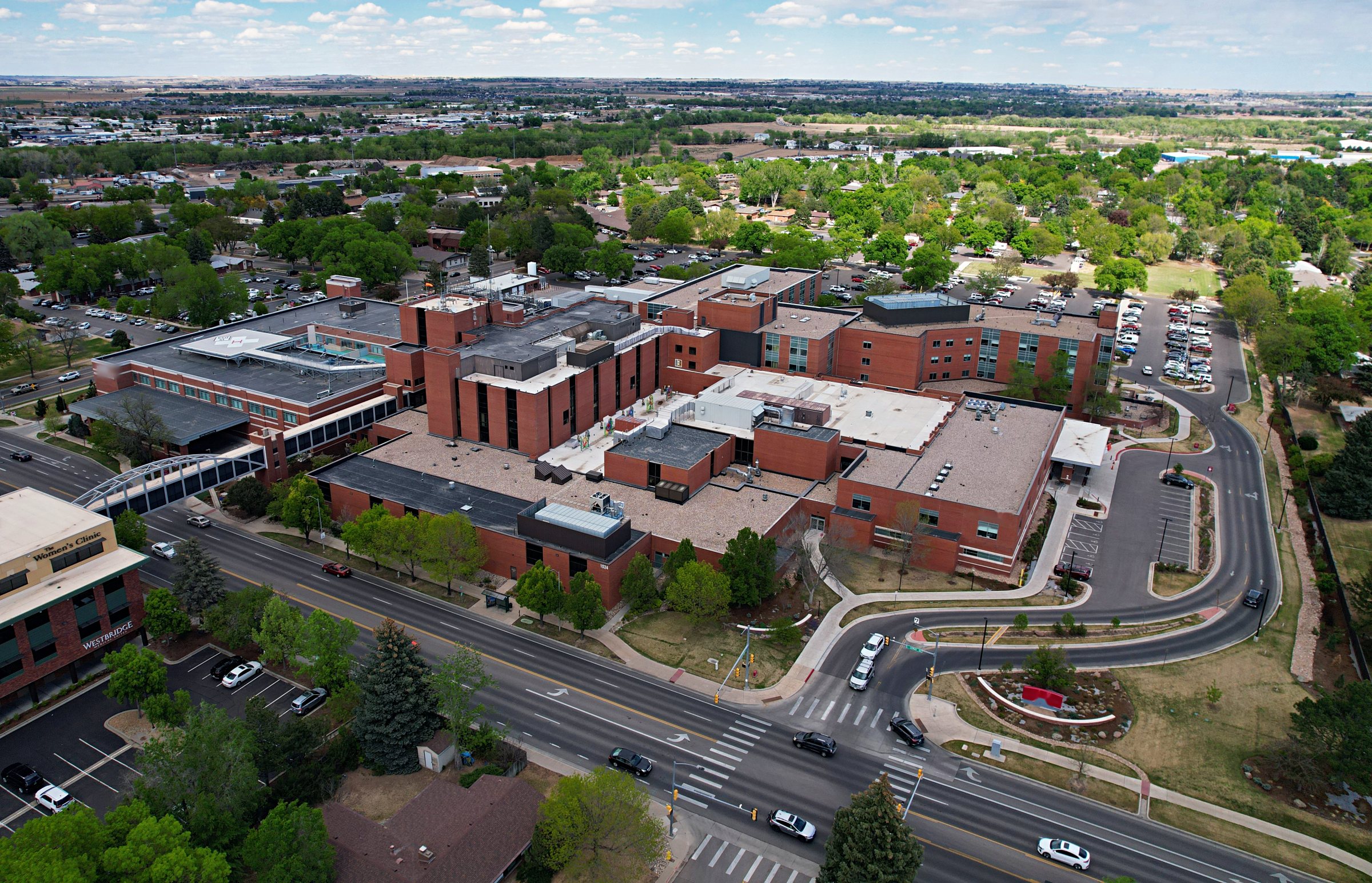
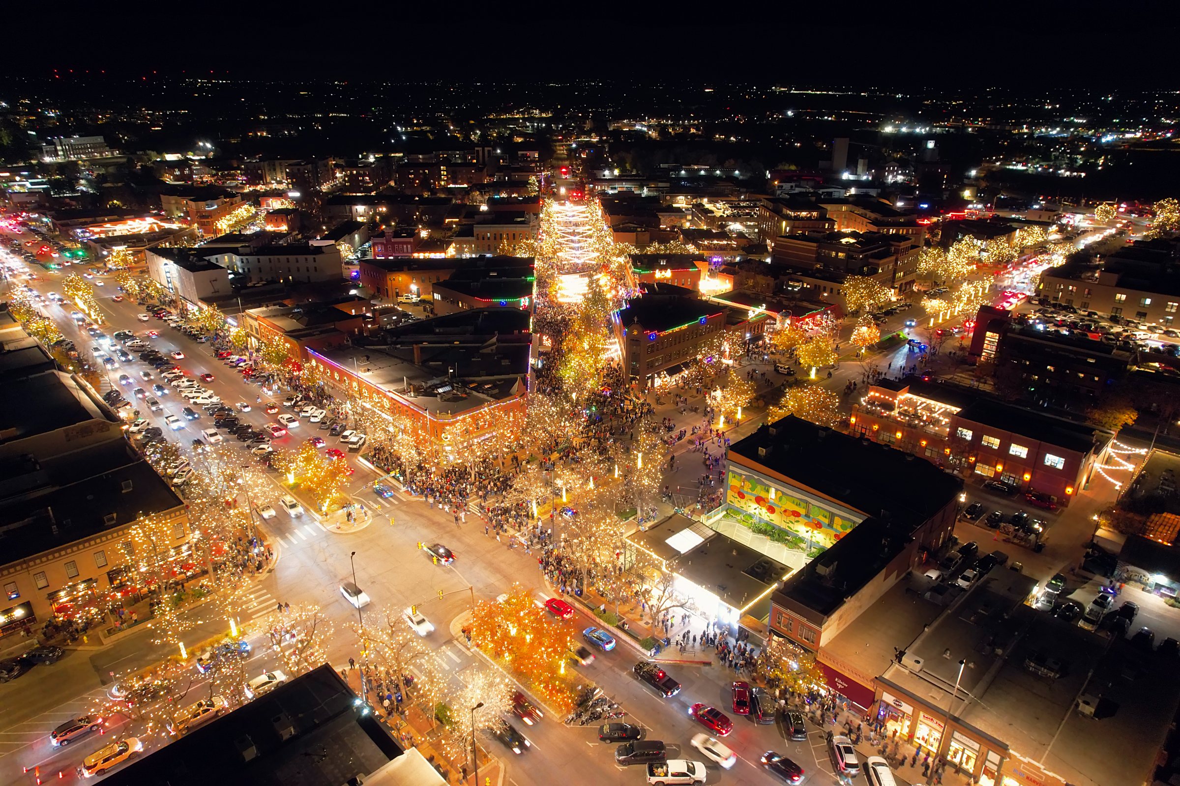
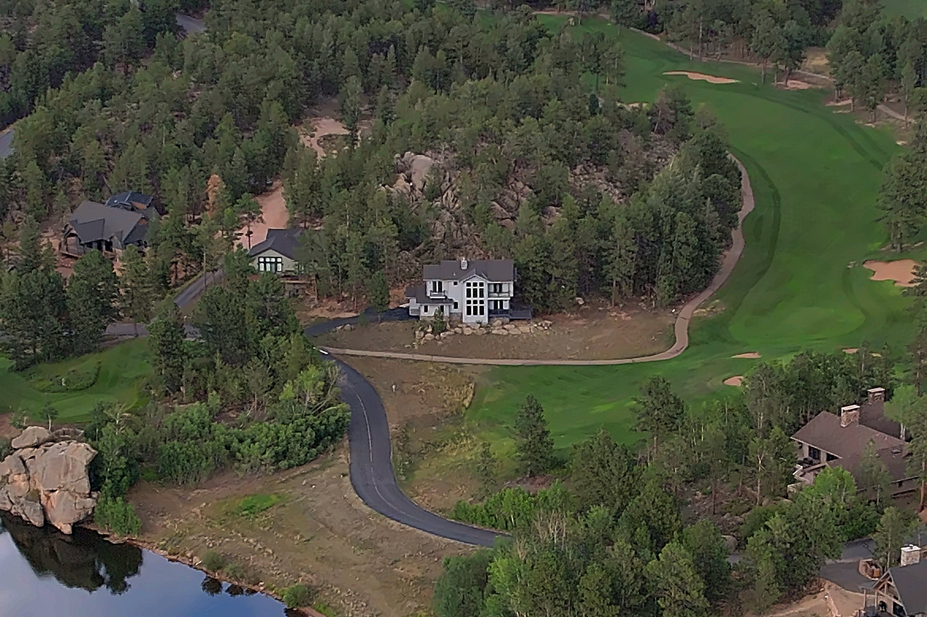
Representative frames from residential, commercial and mountain flights across the Front Range.
Owner · FAA certified pilot
Daniel founded Digital Drone Services in Fort Collins and flies every mission himself. He plans each shoot around airspace, light and the way a property actually reads on camera, then edits the footage into something an agent can publish the same week.
No subcontractors. No stock footage. Just careful planning and one certified pilot behind every shoot.
Same-week availability along the I-25 corridor. Travel beyond the coverage area is quoted per property.
Every mission starts with a brief. Send the location, your preferred timing and whether you need aerial photos, video or both. You'll get a reply with availability and a project quote — usually within one business day.
Daniel Disilvestro — Owner & FAA Certified Pilot · Fort Collins, CO